An unusually large storm is headed towards the coast of Florida, gaining strength as it travels along the Gulf of Mexico before it’s predicted to make landfall on Thursday evening.
Hurricane Helene was upgraded to a Category 2 storm on Thursday morning, just hours before it is forecast to impact Florida’s northwestern coast as a Category 3 or higher. The storm will likely affect far beyond the coast, with flash flood warnings issued all the way into south central Georgia, AP reported.
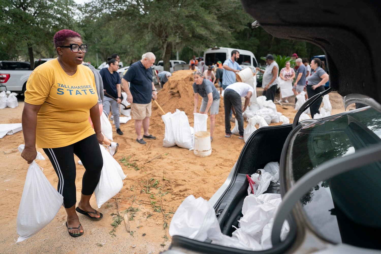
The National Oceanic and Atmospheric Administration’s (NOAA) National Weather Service issued a warning on Wednesday, urging people to prepare for “catastrophic, life-threatening inland flooding from Helene.” There is a major flood risk for urban areas around Tallahassee, metro Atlanta, and western North Carolina, including Asheville, according to NOAA. The agency warns that Helene is the strongest storm to hit Tallahassee, Florida’s capital, in decades. Mandatory evacuation orders have been issued for parts of Florida.
Before it makes landfall, Helene is expected to cause heavy rainfall in parts of the southeastern U.S., which will increase the existing flood risk. Extreme rainfall across the mountainous area of the southern Appalachians will likely cause flash floods, landslides, and extensive river and stream flooding, according to NOAA.
Helene’s maximum sustained winds are at 120 miles per hour (195 kilometers per hour), according to the National Hurricane Center. The gusty winds increase the risk of falling trees, which could cause power outages, road blockage, and property damage.
Airports in Tampa, Tallahassee and Clearwater closed on Thursday in preparation for the storm, as well as Florida’s Disney World and Universal theme parks. Residents of Tallahassee have evacuated their homes and stocked up on supplies as they prepare for the incoming storm, NBC News reported. Florida State University, Florida A&M University, and Tallahassee State College have cancelled their classes for the rest of the week.
Hurricane season began on June 1 and will run until November 30. NOAA will forecast anywhere from 17 to about 25 named storms during that time; thus far, Helene is the eighth storm to impact the coastal Atlantic waters and the Gulf of Mexico. Storms receive their names when they reach wind speeds of 39 miles per hour (62.75 kilometers per hour).
This hurricane season has an above-average number of storms due to near-record warm ocean temperatures in the Atlantic, as well as reduced trade winds and wind shear, and La Nina-like conditions in the Pacific, according to NOAA. This change is mostly driven by human activity such as the burning of fossil fuels, which contributes to climate change, the warming of global oceans, and the melting of ice, causing sea levels to rise.
More: Will Florida’s Oranges Survive Another Hurricane Season?
Trending Products


